Presentation
The European Directive 2007/2/EC dated 14 March 2007, known as the INSPIRE directive, aims to establish an infrastructure for geographical information in the European Community to promote the protection of the environment.
What the directive calls an "Infrastructure for Spatial Information" is a set of online services, available on the websites of the various stakeholders, enabling the dissemination and sharing of spatial data (by "spatial data", we mean "geo-referenced" data, i.e. corresponding to a geographical position (latitude, longitude) on the globe: most marine observation data comes into this category).
The INSPIRE Directive applies to spatial data held by the public authorities, providing that it is in electronic form and that it concerns one of the 34 themes in the annexes of the directive, several of which concern the maritime domain.
The directive requires the public authorities, firstly, to make these data accessible to the public by publishing them on the Internet, and secondly, to share them between public authorities.
The INSPIRE Directive does not only impose these two obligations: it is intended to facilitate their implementation through the publication, which is in progress, of numerous technical texts: instructions (mandatory) and standard recommendations (taken from worldwide standards for the Internet and geographical information). In practice, the application of the INSPIRE Directive means, for the public authorities in each member state, the obligation to publish, on the Internet, metadata and data relating to the 34 themes covered by INSPIRE; it means ensuring the transnational interoperability of data and geographical information systems of the various countries of the European Union.
The spatial data concerned
The INSPIRE Directive covers spatial data that exist or may be collected in the future, but it "does not require collection of new spatial data" (Article 4.4.).
Neither does it impose the publication of only perfect data: it only requires the quality level of data to be sincerely and accurately stated in the metadata.
The scope of the spatial data concerned by the directive is defined by 34 themes, specified in its 3 annexes, which correspond to an order of priority, with Annex 1 having to be processed the quickest. The list of themes expresses an extensive conception of the domain of the environment.
Ifremer is notably concerned by theme 8 "Hydrography" of Annex I covering hydrographic elements, including maritime zones as well as all bodies of water and the elements that are related to it, including hydrographic basins and sub-basins; these elements being compliant, where applicable, with the definitions established by Directive 2000/60/EC of the European Parliament and Council dated 23 October 2000, establishing a framework for Community action in the field of water policy in the form of networks (Water Framework Directive – WFD).
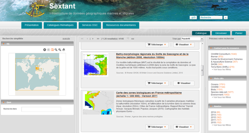
The Sextant portal
To fulfil these obligations, Ifremer has developed and implemented Sextant, a standardised portal for geographical information, interfaced with the GéoPortail National.


